We travelled on another leg of the grand tour of the Great State of Arizona. We spent some time in the Navajo Nation this week. We are at the half way point for visiting all of the National Parks and Monuments in the state. We are including other sites of interest and beauty along the way of course. There's a wind farm expanding outside of Holbrook in the high prairie country. These windmills are deceptively larger than you may think- each blade is nearly 100 feet long!
 First stop at Petrified Forest National Park.
 I took 120 pics on the trip and threw out 50 of them for closed eyes or bad light or whatever but still had to narrow it down for this online journal. I wanted to use this next pic to show the magnitude of these fallen, petrified trees. Look at this one continue down the hill behind Lesa's back.
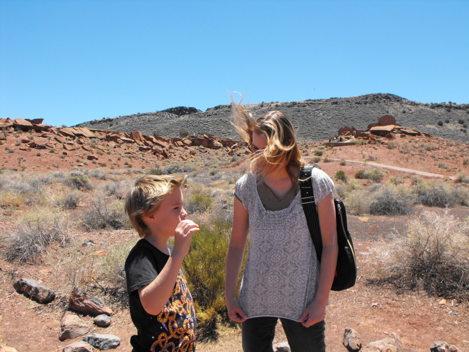
 When I looked at this next one closer, I decided to use it also. There's a desert creature posing for the pic on the right of the shot- a big green lizard. Just click on the pic for a larger view.
 This is Whipple Point at the north end of the park. It's a lovely vista of the painted desert portion of the park. Those Whipple's really know a good point when they see one.
 Here's a Whipple at Whipple Point- the best looking of the Whipples in this bunch for sure.
 Here's THREE Whipples at Whipple point!
 Next stop: Hubbell Trading Post National Historic Site. The shop had a Jr. Ranger vest and hat outfit. Shaw sure looked good in it but it wasn't in the budget and he couldn't describe what he would do with it realistically if he had it so we just got a pic and hung it back up.
 Lesa and I both liked this stop better than any we had seen yet. We wished we had more time to spend here- just a feeling, a spirit about the place. Fun, professional, charming people like this man were part of the experience too.
After talking to this man for 5 minutes, we felt like old friends. He works for a division of the park service that operates the shops- like a concessionaire. He works with local artists and craftsmen to provide goods and things to sell in the shop. We longhairs have to stick together... Lesa was having an equally engaging conversation with a Navajo woman in another part of the trading post. She bought some strawberry/jalapeno jam and, on the recommendation of the shop keeper, some wheat flour that is particularly good for making Navajo Fried Bread which Lesa is already pretty good at.

Here we are on the edge of Canyon De Chelly- pronounced De Shay. I don't remember us being close to the edge but this photo looks as if Lesa were to lose her balance, she would fall of the edge. There is a 600' shear cliff behind us. I think we were more like 20 feet away from the edge.
 Explorer Shaw! We have a painting in our living room by H. Edward Ross, Shaw's Great Grandfather, of this same vista point.
 I'm at the bottom of the canyon at White House Ruins. You can make it out just above my head and at my right elbow.
 Here are the White House Ruins from a ways up the canyon.
 Water break. Shaw must be sad because he just learned that the name of the canyon isn't spelled the way it's pronounced. He's also flushed because it was a hot day and he wasn't drinking enough water.
 This is Church Rock near Kayenta, Arizona.
 This is our campsite at Navajo National Monument and our battle axe car that has been on so many adventures over the years.
 This is the view at sunset from our campsite. My favorite shot of the whole trip right here...
 This is Betatakin Canyon at Navajo National Monument. You can't see it in this shot, but let me zoom in...
 About 150 people lived in this alcove. It's south facing so it gets some sunshine in the winter months and it is shaded in the summer months.
 We hiked to a different spot in Betatakin Canyon. That alcove you saw before is down on the left canyon wall out of sight.
 Most of this trip included stops at places that aren't on the way to anything. It is a very deliberate decision to travel there for that reason alone, not to make a stop on the way to something else. Four Corners is one of those places.
 Lesa and Shaw are standing in Utah, and I have both feet in Colorado, Arizona and New Mexico are 6 inches in front of our feet. It's the only place in the world where any states, provinces, commonwealths or nations share such borders.

 Explorer Shaw! We have a painting in our living room by H. Edward Ross, Shaw's Great Grandfather, of this same vista point.
 I'm at the bottom of the canyon at White House Ruins. You can make it out just above my head and at my right elbow.
 Here are the White House Ruins from a ways up the canyon. Water break. Shaw must be sad because he just learned that the name of the canyon isn't spelled the way it's pronounced. He's also flushed because it was a hot day and he wasn't drinking enough water.
 This is Church Rock near Kayenta, Arizona.
 This is our campsite at Navajo National Monument and our battle axe car that has been on so many adventures over the years.
 This is the view at sunset from our campsite. My favorite shot of the whole trip right here...
 This is Betatakin Canyon at Navajo National Monument. You can't see it in this shot, but let me zoom in...
 About 150 people lived in this alcove. It's south facing so it gets some sunshine in the winter months and it is shaded in the summer months.
 We hiked to a different spot in Betatakin Canyon. That alcove you saw before is down on the left canyon wall out of sight.
 Most of this trip included stops at places that aren't on the way to anything. It is a very deliberate decision to travel there for that reason alone, not to make a stop on the way to something else. Four Corners is one of those places.Lesa and Shaw are standing in Utah, and I have both feet in Colorado, Arizona and New Mexico are 6 inches in front of our feet. It's the only place in the world where any states, provinces, commonwealths or nations share such borders.
 There was a line of people waiting to take pictures and each family group would stand dutifully as we did in that shot above, but Lesa was feeling the spirit of the day and put her bag down exactly on the line where 4 states come together and attempted to stand on her head! The fellow traveller who was taking the pictures for us was a split second too late as she had already gone over the other way. The sidewalk was hot and she got a couple of blisters on the palms of her hands but I think she's awesome for doing it! This is Monument Valley in southern Utah, still in the Navajo Nation. There were some crazy people taking pictures right in the middle of the road. I'm crazy but not stupid. There's a scene in Forest Gump where Forest is running back and forth across the country, just running, and people are following him, seeking some little nugget of wisdom. When I watch the movie, it seems to be nothing more profound than flushing out some of the ugliness of his life- the Viet Nam War etc. making room for the next chapter of peace and happiness and love in his life. In the film, the last of the ugliness flushes out right at this spot in the picture and he just stops running. I felt a little bit of that too. There's something about the grandness of this country that connects you to God and helps you let things go- things that should be let go of...
This is Monument Valley in southern Utah, still in the Navajo Nation. There were some crazy people taking pictures right in the middle of the road. I'm crazy but not stupid. There's a scene in Forest Gump where Forest is running back and forth across the country, just running, and people are following him, seeking some little nugget of wisdom. When I watch the movie, it seems to be nothing more profound than flushing out some of the ugliness of his life- the Viet Nam War etc. making room for the next chapter of peace and happiness and love in his life. In the film, the last of the ugliness flushes out right at this spot in the picture and he just stops running. I felt a little bit of that too. There's something about the grandness of this country that connects you to God and helps you let things go- things that should be let go of...